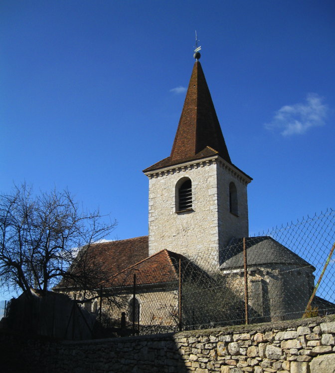
Corn (Corn)

- commune in Lot, France
- Country:

- Postal Code: 46100
- Coordinates: 44° 36' 29" N, 1° 53' 57" E


- GPS tracks (wikiloc): [Link]
- Area: 15.26 sq km
- Population: 207
- Wikipedia en: wiki(en)
- Wikipedia: wiki(fr)
- Wikidata storage: Wikidata: Q1114551
- Wikipedia Commons Category: [Link]
- Freebase ID: [/m/03nwl7h]
- GeoNames ID: Alt: [6455128]
- SIREN number: [214600751]
- BnF ID: [152608161]
- INSEE municipality code: 46075
Shares border with regions:
Reyrevignes
- commune in Lot, France
- Country:
- Postal Code: 46320
- Coordinates: 44° 39' 17" N, 1° 54' 54" E
- GPS tracks (wikiloc): [Link]
- Area: 12.44 sq km
- Population: 364

Cambes
- commune in Lot, France
- Country:
- Postal Code: 46100
- Coordinates: 44° 36' 54" N, 1° 56' 28" E
- GPS tracks (wikiloc): [Link]
- Area: 6.57 sq km
- Population: 349

Boussac
- commune in Lot, France
- Country:
- Postal Code: 46100
- Coordinates: 44° 36' 8" N, 1° 55' 18" E
- GPS tracks (wikiloc): [Link]
- Area: 7.77 sq km
- Population: 188

Grèzes
- commune in Lot, France
- Country:
- Postal Code: 46320
- Coordinates: 44° 37' 38" N, 1° 49' 12" E
- GPS tracks (wikiloc): [Link]
- Area: 11.02 sq km
- Population: 175


Espagnac-Sainte-Eulalie
- commune in Lot, France
- Country:
- Postal Code: 46320
- Coordinates: 44° 35' 33" N, 1° 50' 27" E
- GPS tracks (wikiloc): [Link]
- Area: 9.75 sq km
- Population: 94
- Web site: [Link]

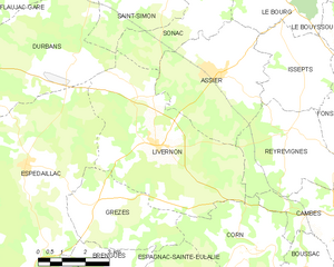
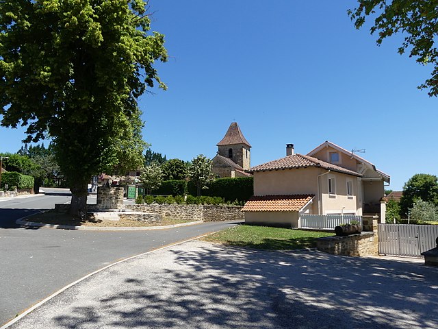
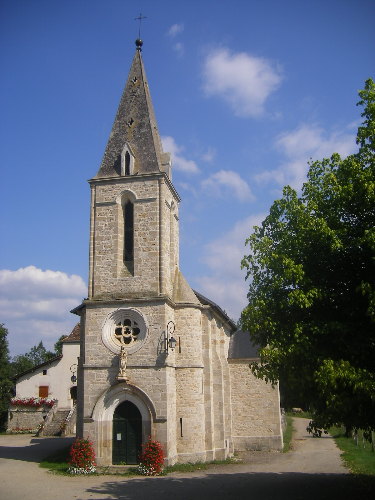
Livernon
- commune in Lot, France
- Country:
- Postal Code: 46320
- Coordinates: 44° 38' 51" N, 1° 50' 33" E
- GPS tracks (wikiloc): [Link]
- Area: 25.86 sq km
- Population: 675

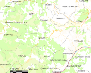
Béduer
- commune in Lot, France
- Country:
- Postal Code: 46100
- Coordinates: 44° 34' 51" N, 1° 56' 59" E
- GPS tracks (wikiloc): [Link]
- Area: 24.78 sq km
- Population: 737
- Web site: [Link]