Landivy (Landivy)

- commune in Mayenne, France
- Country:

- Postal Code: 53190
- Coordinates: 48° 28' 45" N, 1° 2' 0" E


- GPS tracks (wikiloc): [Link]
- Area: 28.54 sq km
- Population: 1151
- Web site: http://www.landivy.fr
- Wikipedia en: wiki(en)
- Wikipedia: wiki(fr)
- Wikidata storage: Wikidata: Q1101653
- Wikipedia Commons Category: [Link]
- Freebase ID: [/m/03qddjp]
- GeoNames ID: Alt: [6436413]
- SIREN number: [215301250]
- BnF ID: [15263918q]
- INSEE municipality code: 53125
Shares border with regions:

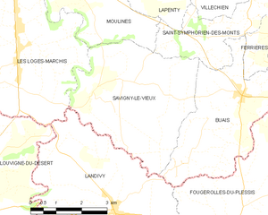
Savigny-le-Vieux
- commune in Manche, France
- Country:
- Postal Code: 50640
- Coordinates: 48° 31' 15" N, 1° 2' 53" E
- GPS tracks (wikiloc): [Link]
- Area: 17.16 sq km
- Population: 443


La Dorée
- commune in Mayenne, France
- Country:
- Postal Code: 53190
- Coordinates: 48° 26' 55" N, 0° 57' 54" E
- GPS tracks (wikiloc): [Link]
- Area: 17.84 sq km
- Population: 292


Pontmain
- commune in Mayenne, France
- Country:
- Postal Code: 53220
- Coordinates: 48° 26' 20" N, 1° 3' 30" E
- GPS tracks (wikiloc): [Link]
- Area: 7.17 sq km
- Population: 871
- Web site: [Link]


La Bazouge-du-Désert
- commune in Ille-et-Vilaine, France
- Country:
- Postal Code: 35420
- Coordinates: 48° 26' 35" N, 1° 6' 18" E
- GPS tracks (wikiloc): [Link]
- AboveSeaLevel: 174 м m
- Area: 24.6 sq km
- Population: 1113
- Web site: [Link]

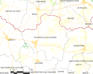
Fougerolles-du-Plessis
- commune in Mayenne, France
- Country:
- Postal Code: 53190
- Coordinates: 48° 28' 26" N, 0° 58' 25" E
- GPS tracks (wikiloc): [Link]
- Area: 33.29 sq km
- Population: 1250
- Web site: [Link]


Les Loges-Marchis
- commune in Manche, France
- Country:
- Postal Code: 50600
- Coordinates: 48° 32' 31" N, 1° 5' 18" E
- GPS tracks (wikiloc): [Link]
- Area: 19.78 sq km
- Population: 1009


Saint-Mars-sur-la-Futaie
- commune in Mayenne, France
- Country:
- Postal Code: 53220
- Coordinates: 48° 25' 56" N, 1° 0' 55" E
- GPS tracks (wikiloc): [Link]
- Area: 21.45 sq km
- Population: 568
- Web site: [Link]


Louvigné-du-Désert
- commune in Ille-et-Vilaine, France
- Country:
- Postal Code: 35420
- Coordinates: 48° 28' 54" N, 1° 7' 27" E
- GPS tracks (wikiloc): [Link]
- Area: 41.66 sq km
- Population: 3417
- Web site: [Link]